Weather of the Week
This week will be cooler and more average to below average, with highs in the low to mid-60s except for the weekend, when we will see a warm front push into the region for a couple of days, bringing temperatures into the mid-70s. The nights will be cold, in the mid-30s. Other than Monday, the skies will be nice and sunny all week into the weekend. Enjoy this fall week, as long-range models are hinting at a significant cool-down next week or the week after.
What’s Going on in the Weather World?
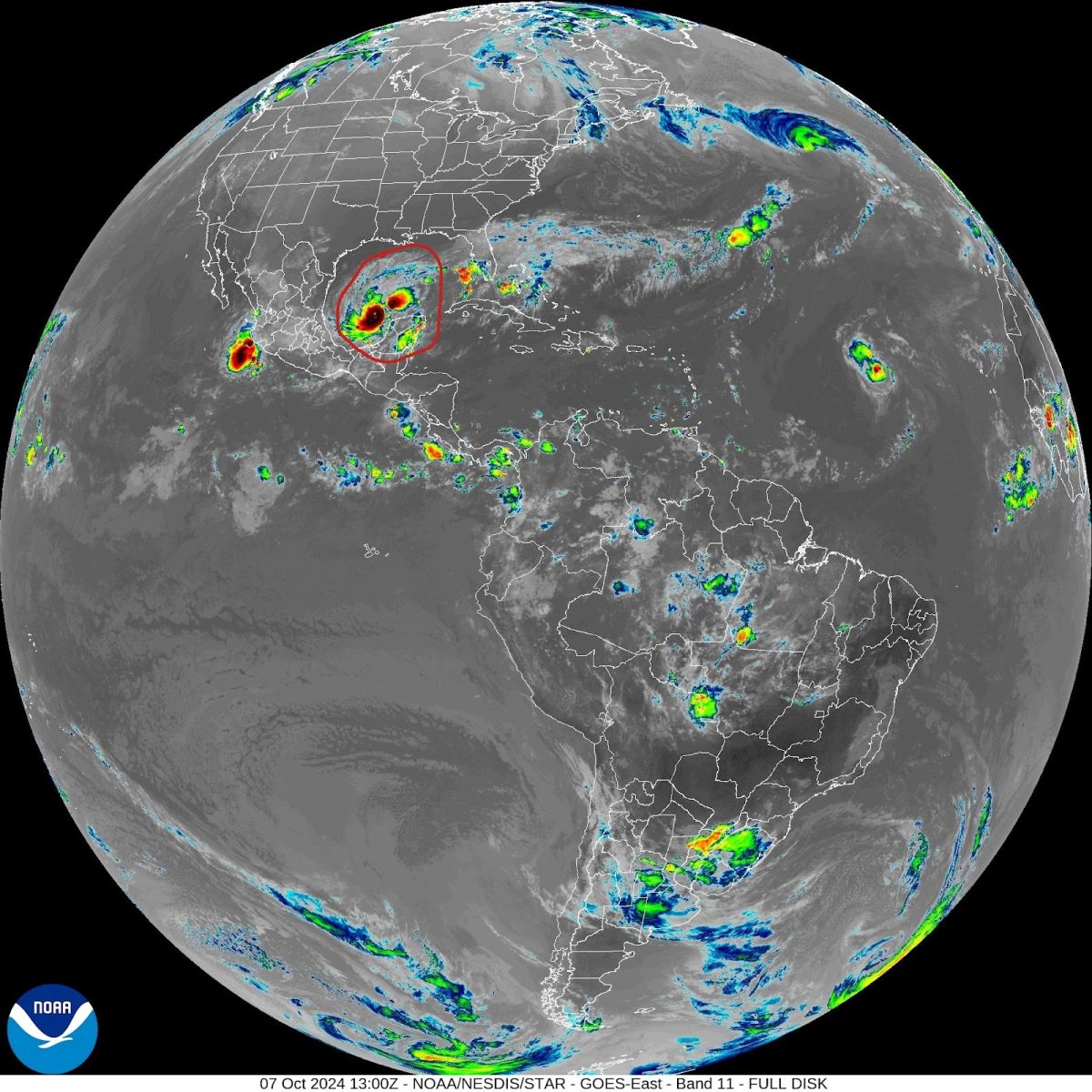
What was once forecasted to be a Category 3 hurricane has (as of 9:05 am Monday) catapulted into a high-end Category 4 hurricane, with winds up to 150 mph and gusts of 170 mph. Hurricane Milton is located 735 miles SW of Tampa Bay, FL, and exceeded all expectations. 12 hours ago (as of writing), Milton had just become a hurricane. Now it’s almost a Category 5 and shows no signs of stopping. While expected to weaken, this hurricane unfortunately looks to have eyes on Tampa for landfall. Milton is expected to make landfall as a high-end Category 3 with winds up to 125 mph in Tampa. Even then, if this storm becomes the strongest hurricane of 2024, the landfall wind speeds might be too conservative. It is expected to weaken due to wind shear and dry air invasion but if dealing with a monster storm, it might weaken it oh so little. Milton already is a large storm as seen in the picture, circled in red (Credit: NOAA). If you have interests in Tampa or if you have friends and family, tell them to stock up on provisions and if possible, evacuate.


