Weather of the Week
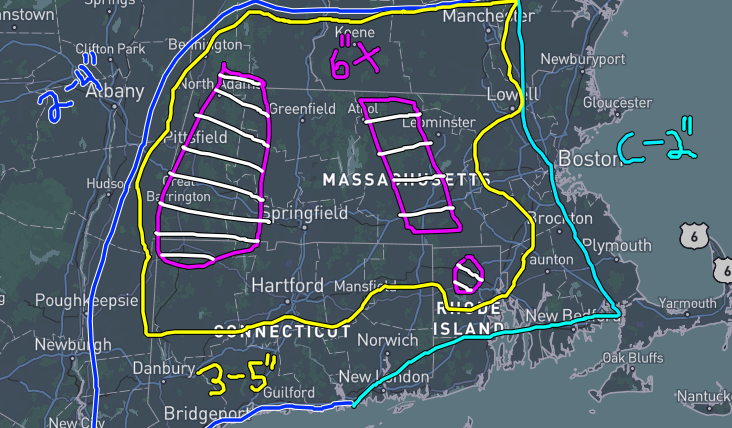
A large storm system is forecasted to move through the region on Wednesday, bringing heavy rain, strong winds, and some flooding. A Flood Watch is in effect for Wednesday, as melting snowpacks and 1-3” of rain will cause some flooding concerns. Potential for thunderstorms as it will be in the 60s, with the main front bringing wind gusts up to 65 mph in this area, with stronger gusts up to 80 mph at the Cape and Eastern MA regions. After this front, cooler temps are expected. Highs in the mid to upper 30s before another warming trend early next week possibly.
What’s Going on in the Weather World?
Three years ago today, a violent tornado outbreak broke out across the MS and OH River valleys. The well-known “Quad-State Supercell” brought multiple tornadoes tearing through Arkansas, Missouri, Tennessee and Kentucky. Two in particular were violent EF4s with winds up to 190 mph. One of these two was especially horrific as it cored the metropolitan area of Mayfield, KY at 9:26 pm CST, making it invisible to those in the path. In the end, the tornado tore through 11 KY counties and killed nearly 60 people. Damage was immense throughout the region and it was declared a federal natural disaster area, FEMA poured in to help out survivors. This tornado will forever be remembered in the hearts and minds of those who were affected by it.


